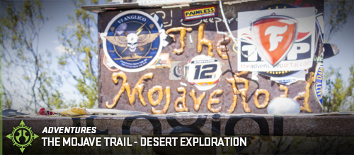
There's adventure all around us, the only hard part is either knowing where to look or being adventurous enough to look around and find it. In this case of desert exploration, there's adventure all over the place, much of it with significant historical value. And right about now is when the Mojave Trail comes into the picture. A trail that early East to West settlers used, navigating them through the Mojave Desert in hopes of green pastures just on the other side of the mountains. Yet, as you travel along the Mojave Trail, you come to find out many people considered it home and an opportunity for generating income. Whether is was mining, establishing water wells, live stock, or creating art like artist Carl Faber.
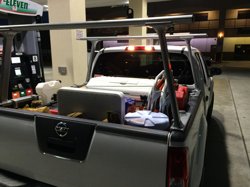
Loaded up, filled up and in route to Laughlin.
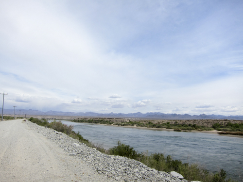
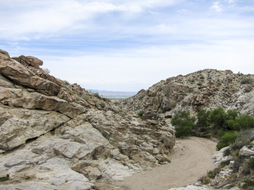
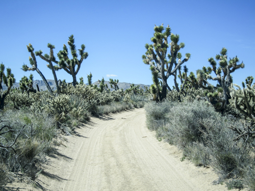
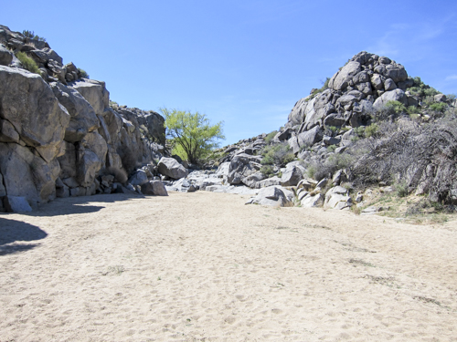
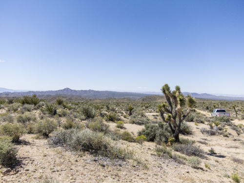
Mile #1 of the Mojave Trail with the Colorado River to our Right.
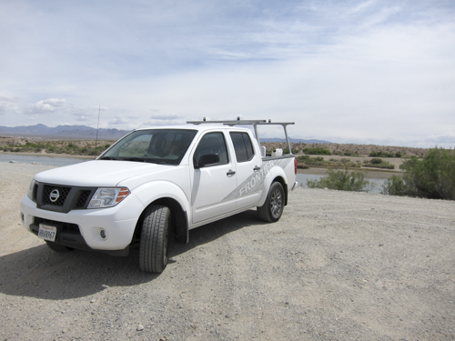
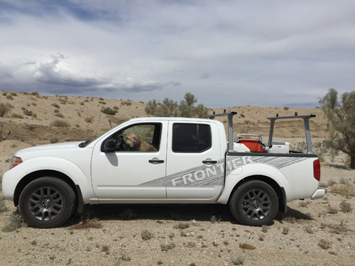
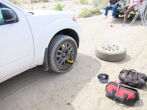
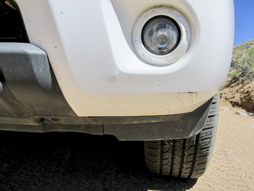
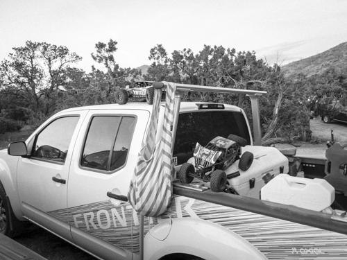
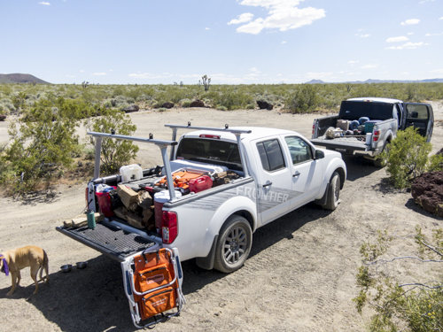
Take notice, this is a stock Nissan 4x4 Frontier. It'll be interesting to see how much damage comes out of this.
Hello there Colorado River
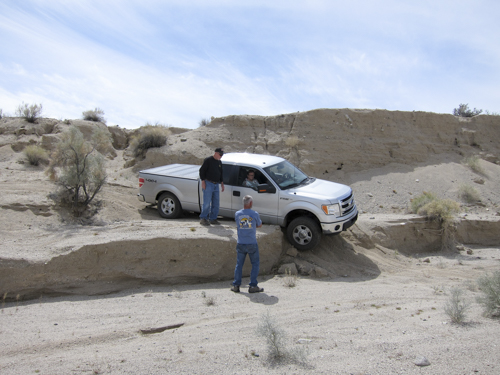
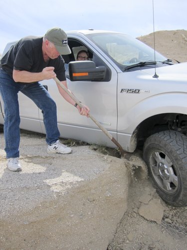
Less than 10miles into the Mojave Trail and our Trail Boss Mike Whittington finds himself in this predicament.
Dragging on the body is NOT an option here.
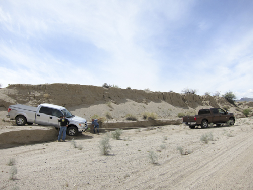
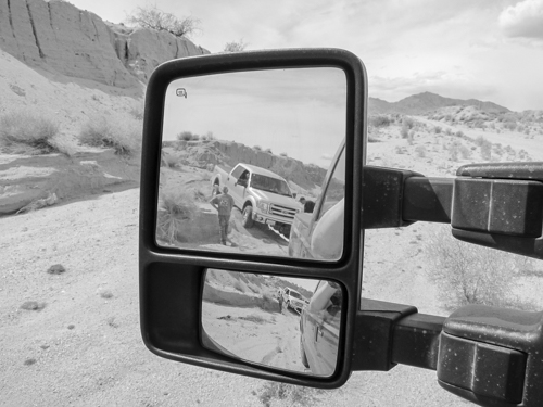
And while Mike is getting is F-150 towed off the ledge Phoebe is ready for more, even if she has to drive.
No more than 15 minutes later after towing Mike off the Ledge I get a flat front passenger tire thanks to a healthy piece of metal.
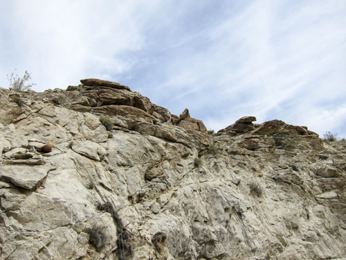
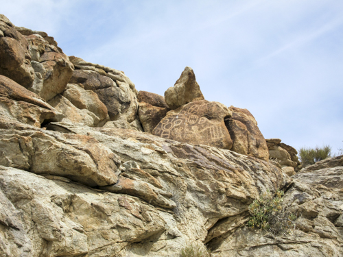
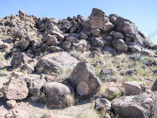
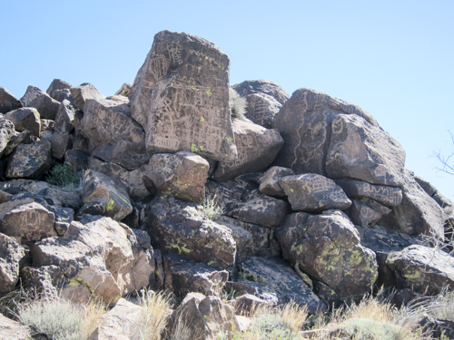
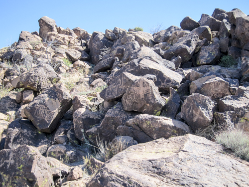
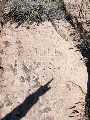
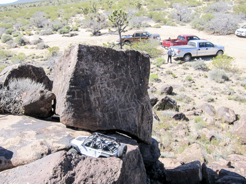
Not sure how legit these rock paintings are but they're certainly interesting.
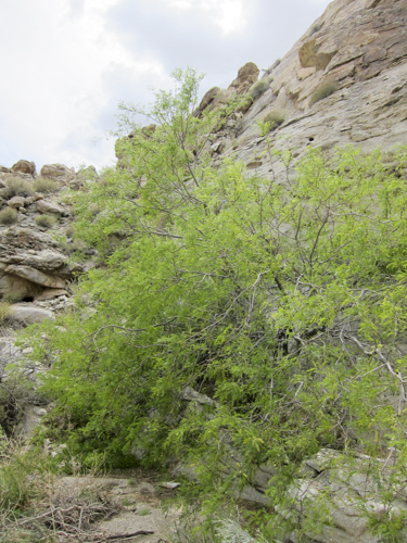
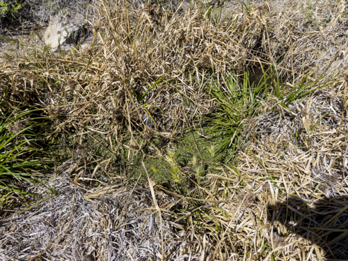
How to spot the water source while out in the desert.. Look for the green.
Off in the distance is Laughlin NV
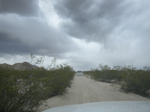
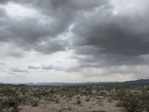
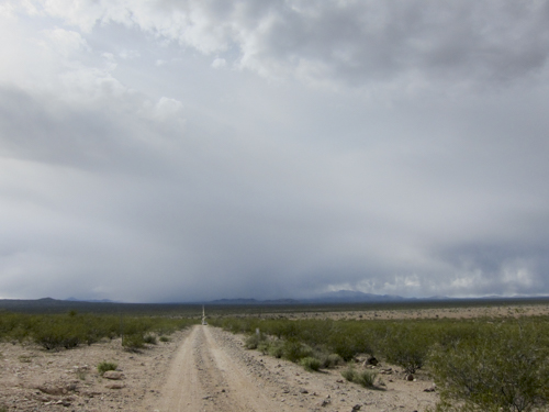
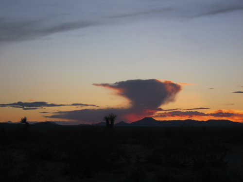
Needless to say, the sight of these clouds wasn't exactly helping the cause considering we were in route to our first campsite and the idea of setting up a tent in the rain was not appealing.
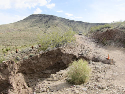
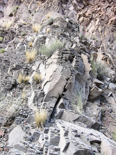
A few weeks prior the desert was hit with a healthy rain storm which knocked out parts of the trail. This was a ditch you did not want to fall into. But that could be said about any ditch.
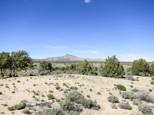
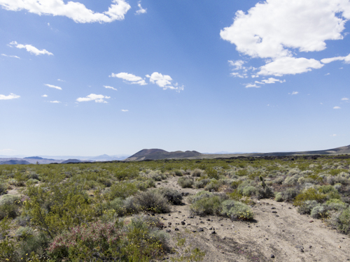
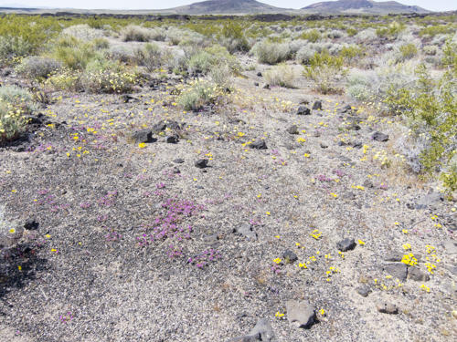
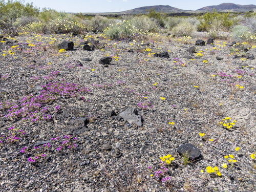
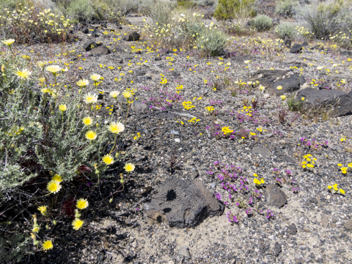
Recent rains have given the desert floor a greenish hue with flowers and plants blooming all over the place.
What are we driving into?
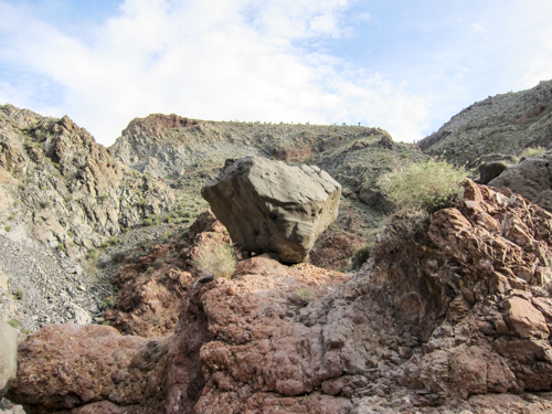
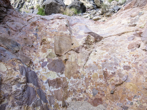
Take a moment and think about how much force as needed to move a rock that large. Then think about the fact that the force of water moved that rock.
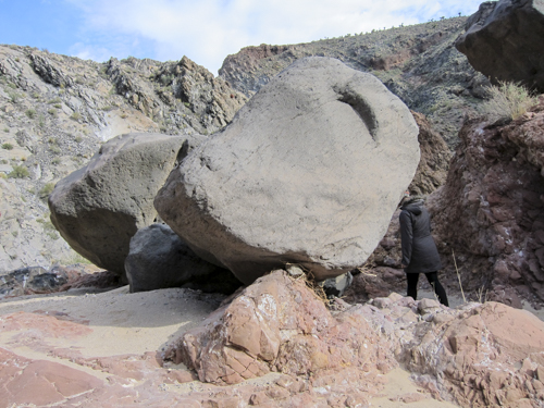
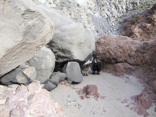
Years of water flowing over these rocks has shaped their surface into a smooth and colorful arrangement.
Natures LEGO build.
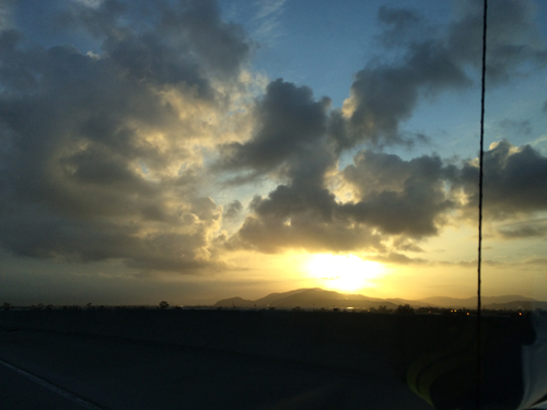
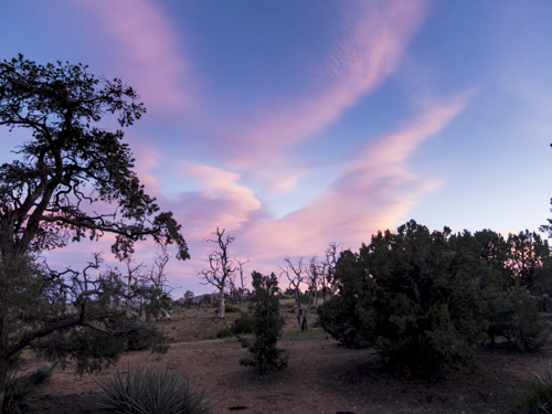
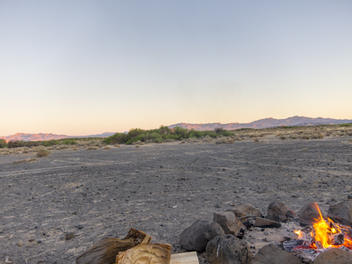
Sunset falls onto Day One of the Mojave Trail run and those pesky rain clouds have sailed away. However, in there place came a cold night.
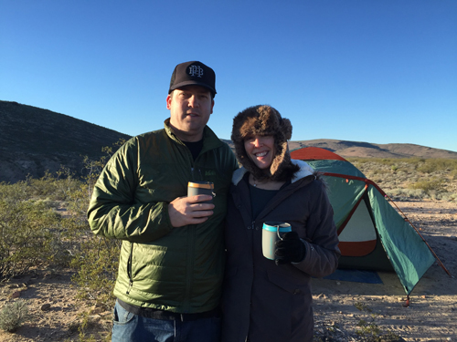
Beverages in hand, we're ready for an evening next to the camp fire.
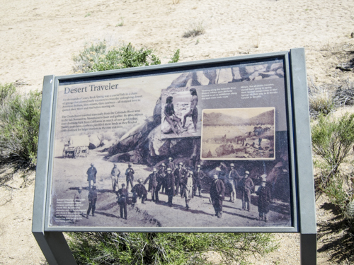
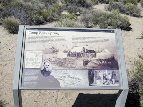
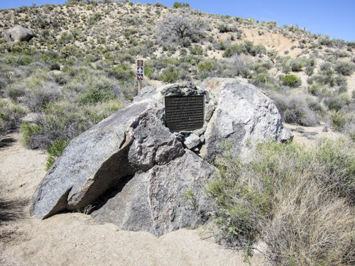
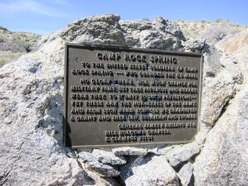
Day One Camp just above Fort Paiute. Established in late 1859 by Captain James H. Carleton, 1st Dragoons, this desert post was located near Piute Springs in the foothills of the Piute Mountain range, about 25 miles west of Fort Mojave and 10 miles north of Goffs in San Bernardino County, a few miles west of the California-Nevada border.
The sunset just kept getting better and better as the lights slowly went out.
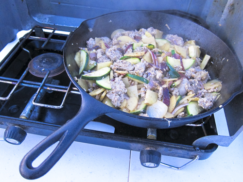
Cast iron pans should be in everyones camping box. Dinner for night one is cut up chicken sausages, onions, potatoes, zucchini, garlic, olive oil, and salt and people for seasoning.
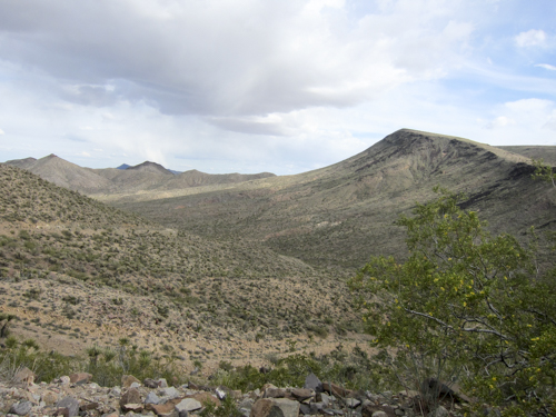
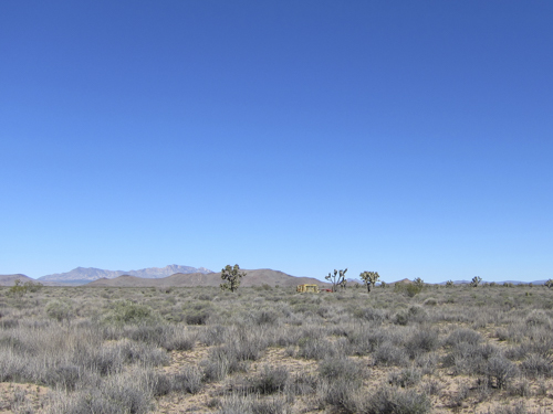
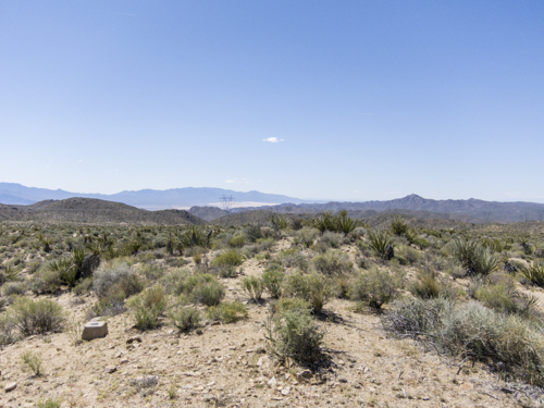
Slight change of scenery, approx 4,000ft elevation.
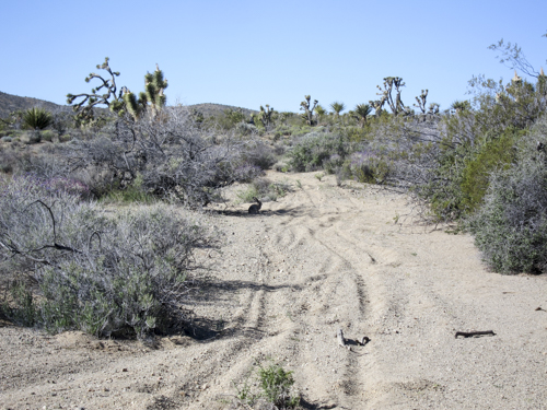
A desert hare hanging out in the shade watching the sun go up as we cruise through.
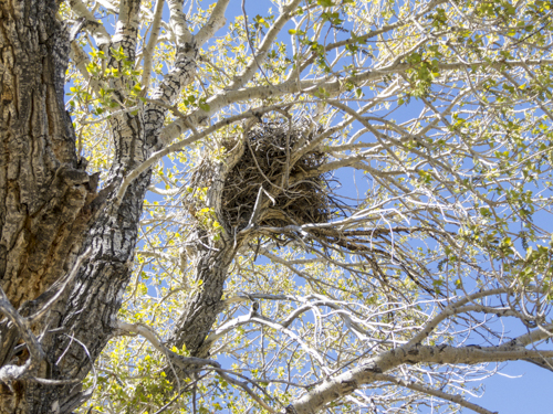
It's best not to poke this nest. At some points along the trail they were all over the place.
Just heading up to mile 35 of the trail and you'll come across an abandoned school bus and early sedan. Both have been better days.
Yes, that person.
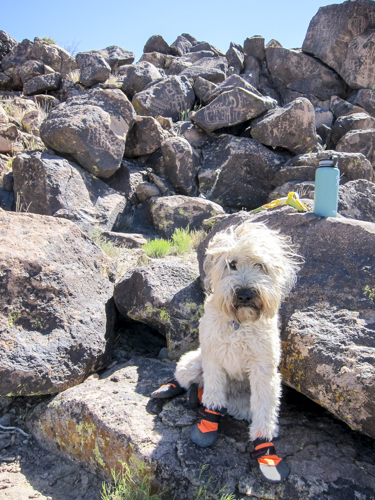
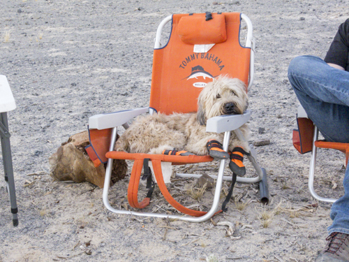
City dog earning her trail dog merit badges.
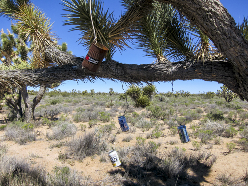
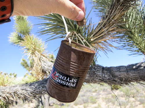
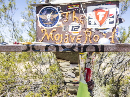
Don't forget the coin can donation @ 35.13544 and -115.17731
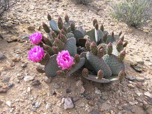
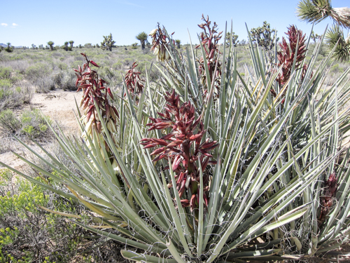
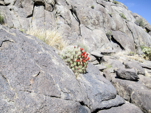
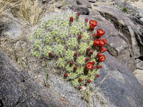
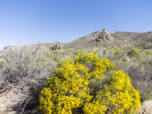
Spring time in the desert yields all sorts plans blooming with vivid colors.
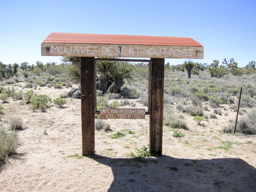
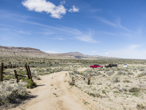
No reservations were made but certainly an idea for the future.
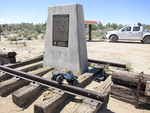
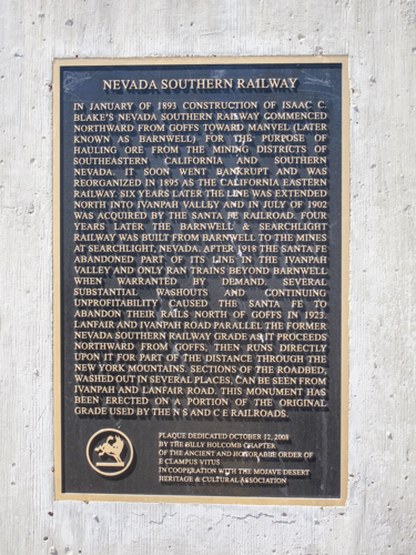
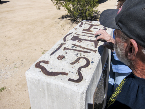
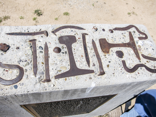
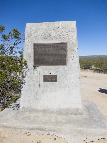
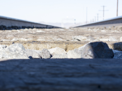
What you see there are the bits of steel used to build railways that have been added to the Nevada Southern Railway monument.
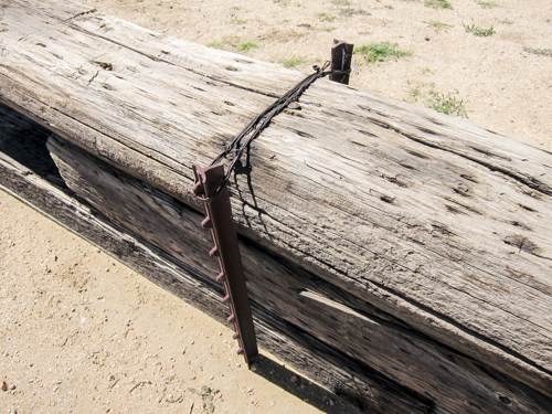
That's one way to hold down from railroad ties.
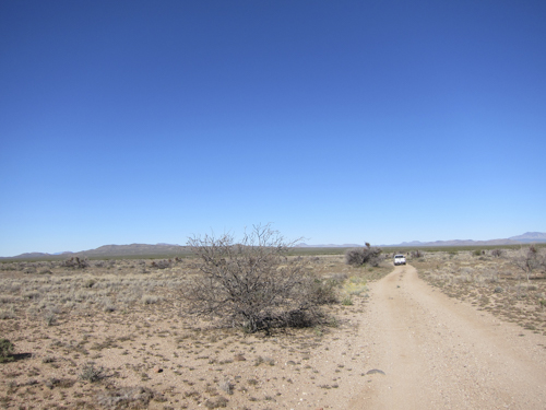
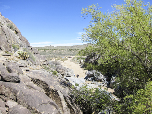
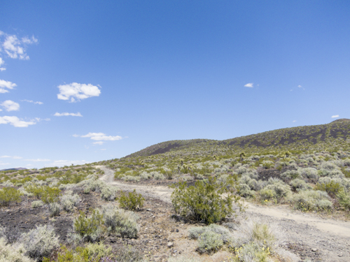
This was the view for quite a while today. One of those stretches of trail were the dog is not allowed out of the truck.
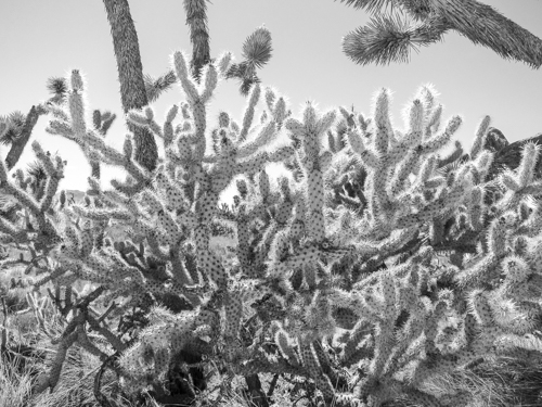
Five-5 not needed. Cylindropuntia is a genus of cacti (family Cactaceae), containing the cholla, native to northern Mexico and the Southwestern United States. They are known for their barbed spines that tenaciously attach to skin, fur, and clothing.
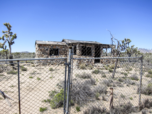
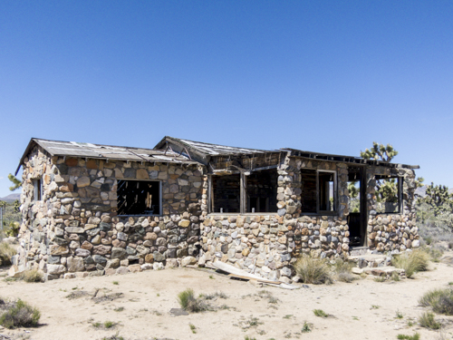
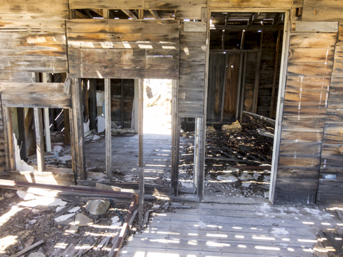
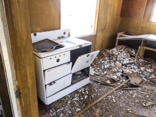
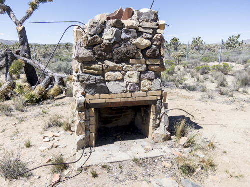
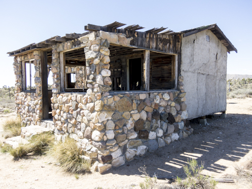
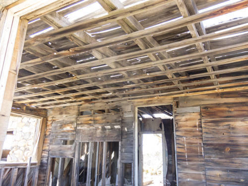
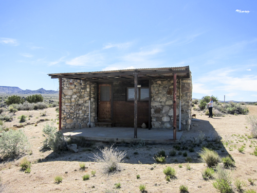
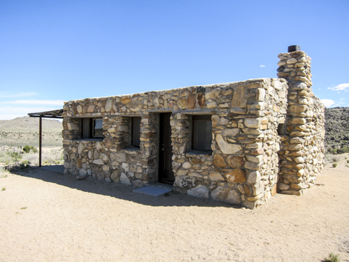
As we're trailing along this old stone house appeared. Mind you, this was literally in the middle of the desert and someone had put some serious effort in this home. Located at: 35.14143 -115.25704 @4486ft
Seems up to building enforcement code.
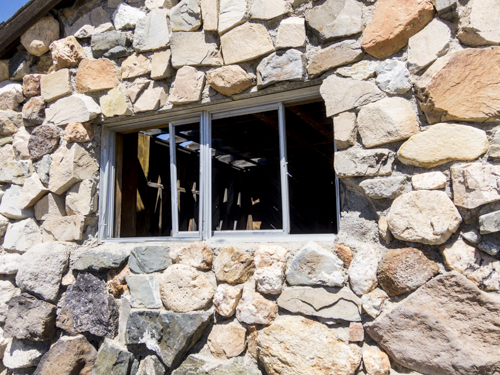
Those are aluminum framed windows, which means this house isn't all that old.
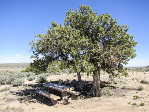
Perfect spot for a lunch stop, at the old rock house.
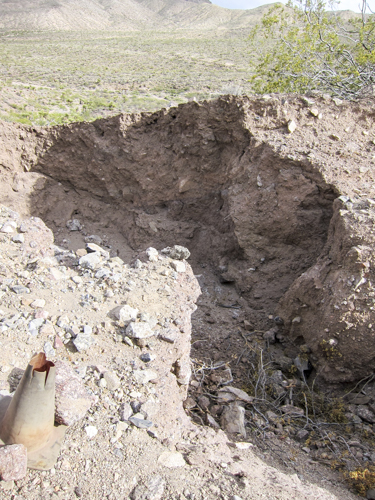
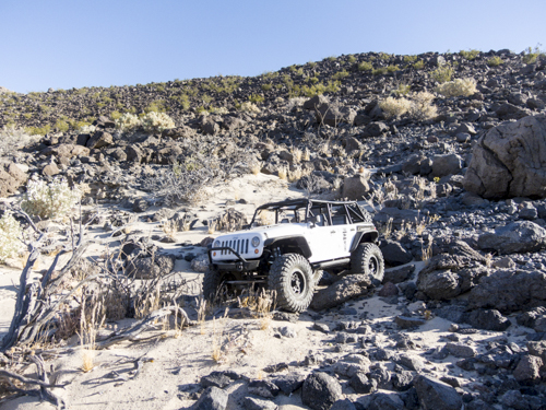
Well... It's finally happened, trail damage. Decent technical decent with good sized truck eating holes. A punch and a scratch. Not sure insurance will cover this on. Location: 35.14917 -115.32228 @ 4673ft
I wonder where there is water around here.
Most of the desert flowers were in full bloom, which is something that doesn't happen all that often.
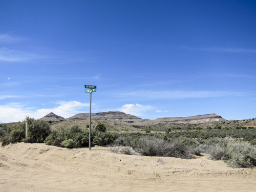
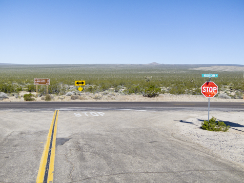
Wasn't expecting any road signs out here.
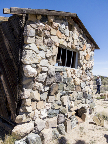
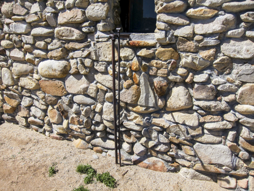
Desert artist Carl Faber's rock house. May sound odd but, there is a park service restroom on site. So if you've got shy open air bowels this is your change for a download. Location: 35.15520 -115.33489 @ 4863ft
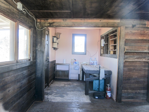
Carl Faber's desert house is small and somewhat cozy with spectacular views.
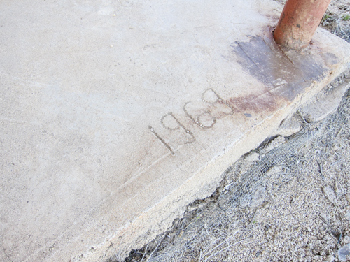
Safe to assume the concrete slab for this house was poured in 1969.
I'm assuming this is an outdoor shower.
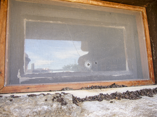
rouge .22 shot through the window. Have no clue if this was during Carl's residence or just someone plinking around the desert.
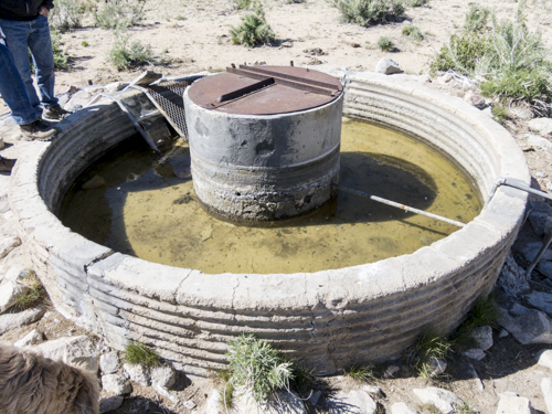
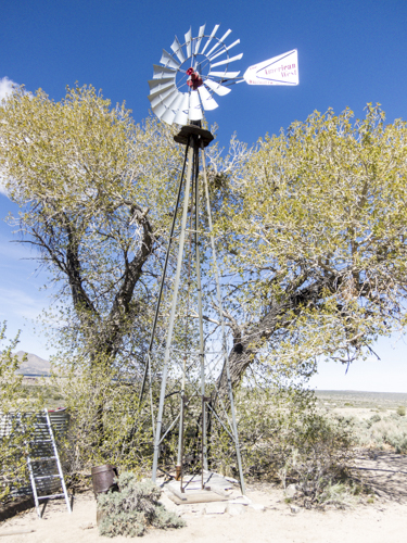
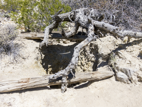
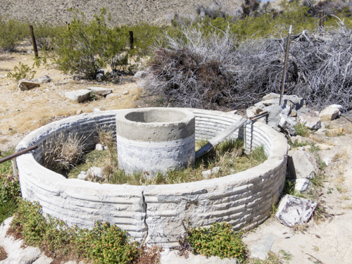
Not quite sure exactly what it is but most likely a water well.
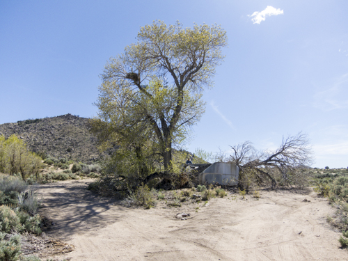
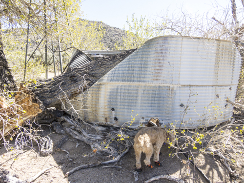
After taking a closer look at the tree and the limb that broke off, this had to have happened within the last 6 months. Luckily the water tank within the water tank was not damaged from what we could see.
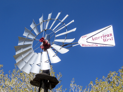
This was a cool water pump setup using a windmill to pull water from the underground well. A simple lever mechanism engages and disengages the rotating assembly above to activate the pumping action.
This birds nest was larger than the 35lbs dog. Begs the question, what bird might call that nest home.
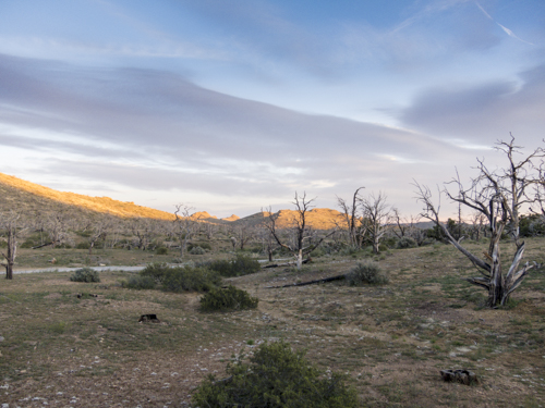
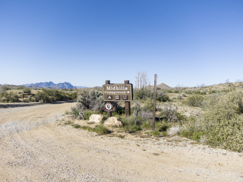
The view from Mid Hills Camp ground, night two.
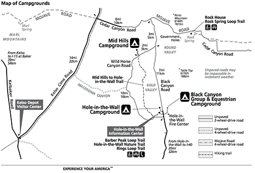
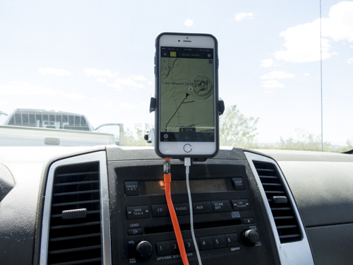
The map of the surrounding area around Mid Hills Campground.
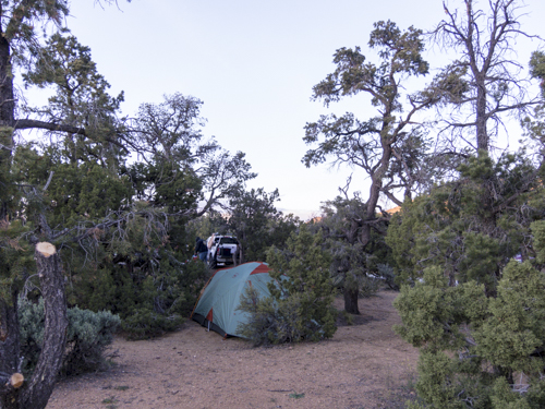
Despite a bit of wind blowing around it was great having the ability to setup the tent within the trees.
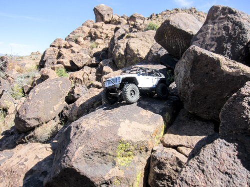
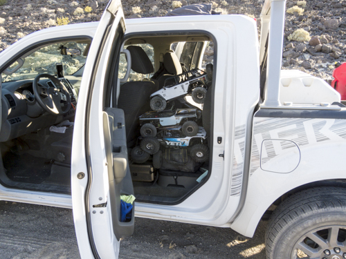
Campsite activities: SCX10 Jeep JK Wrangler and reading material.
Who said you had to only bring one R/C car.. must have missed that memo.
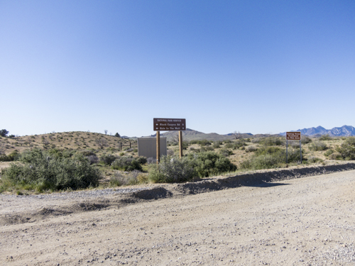
Day Three: Leaving Mid Hill campground and ready for more trail.
Private residents along the trail.
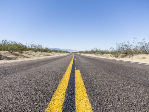
First sight of paved road in nearly 3 days. Bitter sweet moment considering it was great to see paved road but equally wanted more dirt trail to explore.
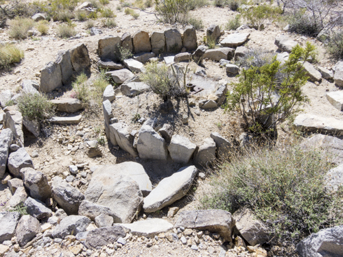
While at Marl Springs we came across what looks to be some sort of granite rock crushing circle with center mounting point.
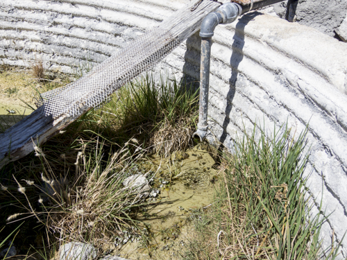
This looked to be the source of the water well that fed the tools and above ground just down the hill.
Just a steady trickle of water coming out into the well that served as a water hole for a slew of bees.
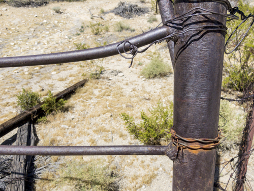
A massive weld for such a small bar. What kind of a welder do you think was used for this?
While at Marl Springs, decided to make a lunch stop and let the dogs stretch out their legs while on mooch patrol.
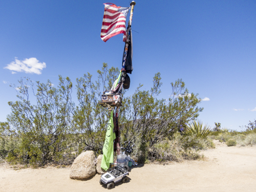
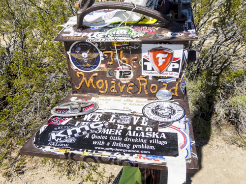
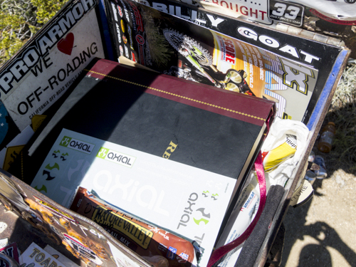
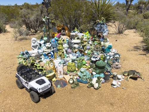
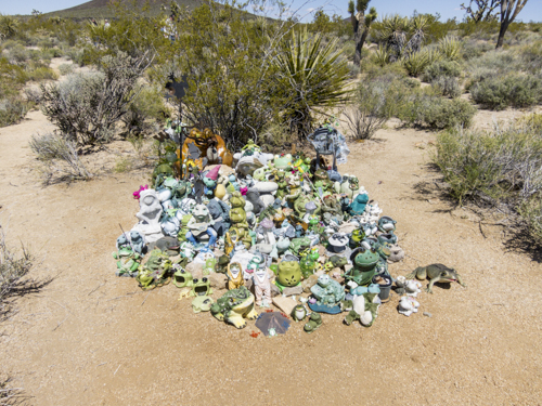
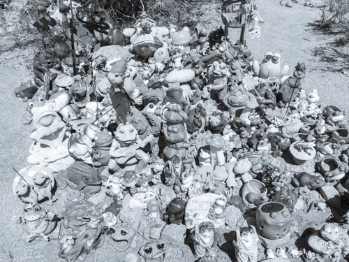
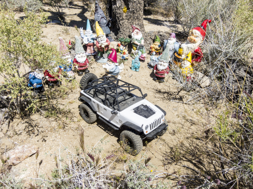
Along the Mojave Trail there are numerous spots to check out. The Mailbox at mile 74 should be BOLD text highlighted and at the top of your list. Constructed in 1983 by Friends of the Mojave Road, a conservation group and historical society who were looking to add place for travelers to mark their passing on the unmaintained dirt road. At the site you'll find mailbox donations of food, water, misc knick knacks, candles and etc. Beyond the Mailbox there are several different little shrines; The Frogs, Jeep Rock, Action figures followed by gnomes. GPS Coordinates: 35.18545 -115.69273 @ 4,271ft
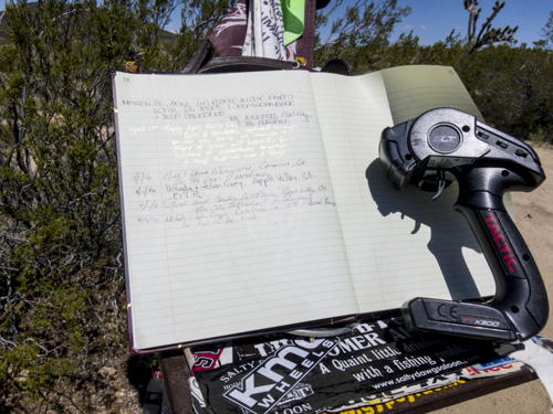
Make sure to sign in.
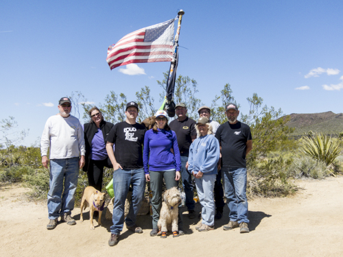
On The Rocks Jeep Club Crew from left to right: John Cary,Nova, Wendy Cary, John Cary jr, Mikala Cary, Phoebe, Mike Whittington, Corkey Wohlers, Laura Whittington and Rich Wohlers.
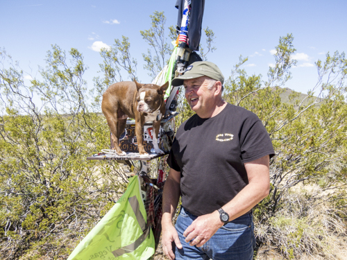
Mike and Marty taking a moment at the Mailbox.
A small contribution to the Mailbox, Axial decal sheet.
Axial marks the spot!
So many frogs!
Jeep Rock
Watch out for those gnomes.
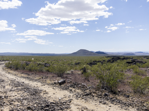
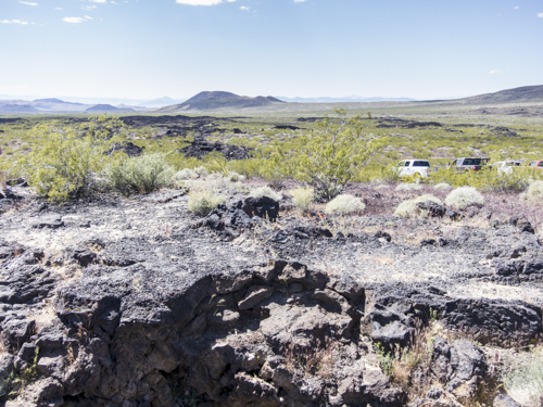
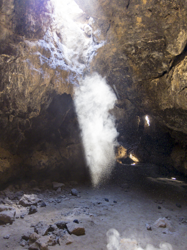
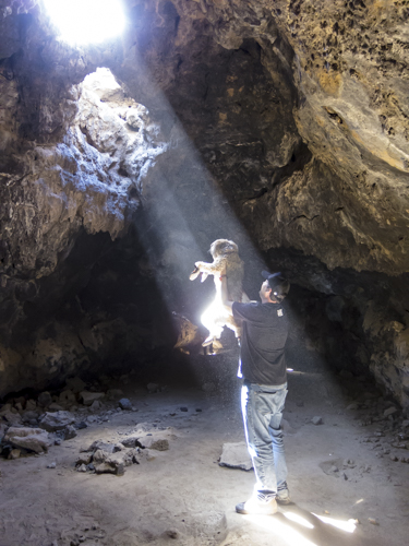
Next stop of the Mojave Trail is a slight detour over to the Lave Tubes. GPS coordinates: 35.21599 -115.75248 @3,565ft
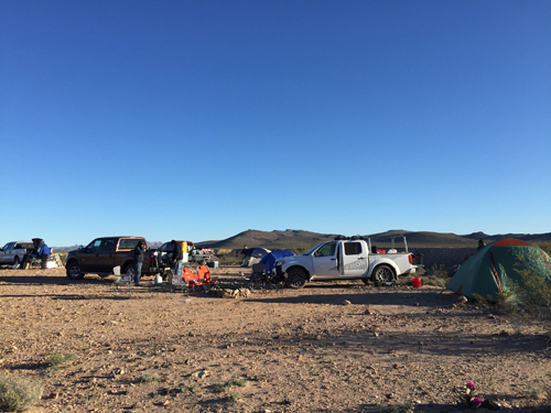
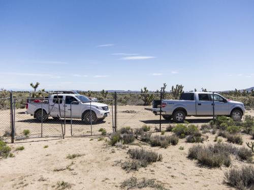
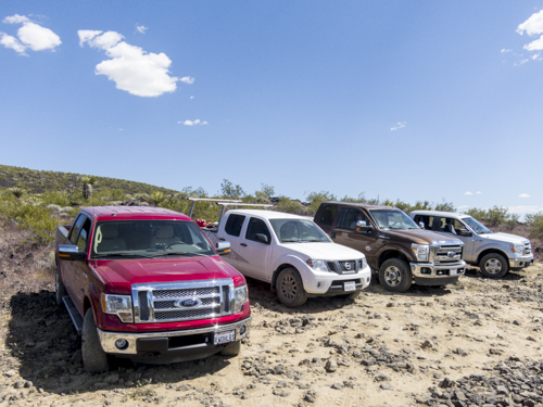
The trail crew, box stock trucks: (2) Ford F-150 crew cabs w/ ecoboost and 4wd, (1) Ford Super Duty F-350 diesel crew cab w/4wd, (1) Nissan Frontier V6 crew cab w/4wd
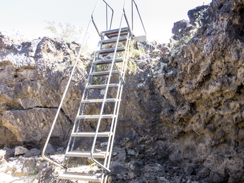
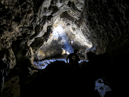
Stairs leading down into the Lave Tubes. Be careful, they're steep.
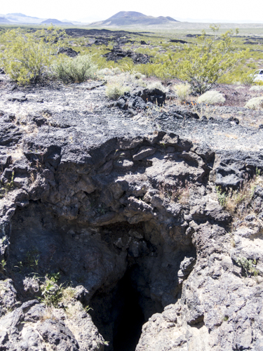
Holes looking down into the tubes.
For a split second is almost looks like Hawaii.
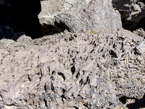
It's interesting seeing lava rock like this up close.
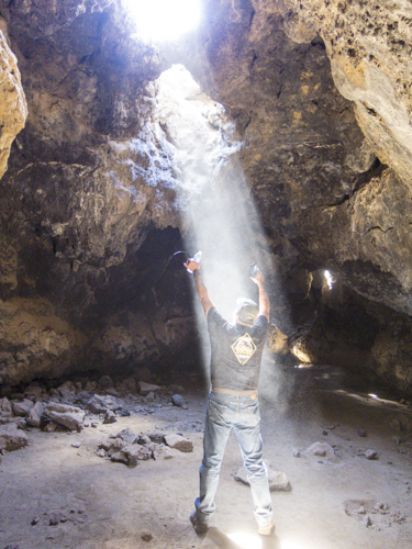
Not a scene from the "Encounters from a third kind". Just Mike looking up to the light.
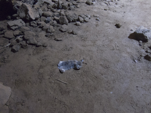
Sadly, this little bunny found itself into the cave and was not able to get out.
A donation of Phoebe.
Natures spot light.
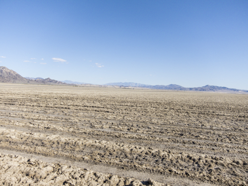
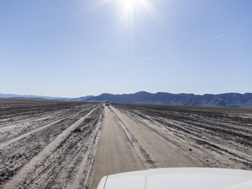
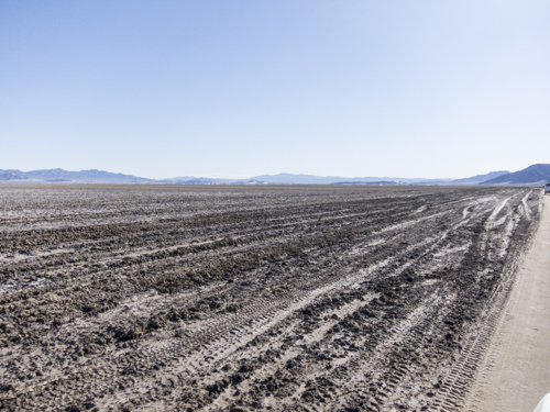
After a long trip down a high frequency bumpy rock we've finally arrived to the Soda Lake bed that backs up to Zzyzx Road off the 15 freeway. Soda Lake bed is also the Mojave river end point.
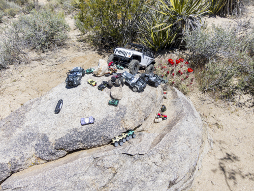
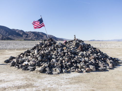
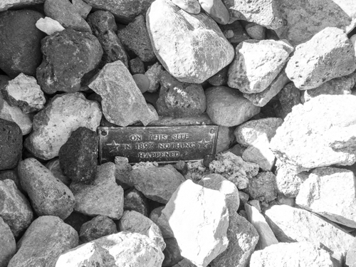
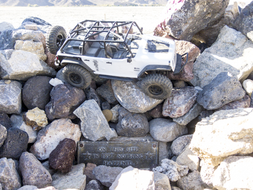
Hope you brought a rock for the Rock Pile donation. GPS Coordinates: 35.13073 -116.09529 @871ft This 3k+ drop in elevation showcases a polarizing difference amongst the shrubbery surrounding the landscape.
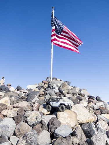
SCX10 Jeep JK Wrangler posting up at the Rock Pile.
We'll take your word on that.
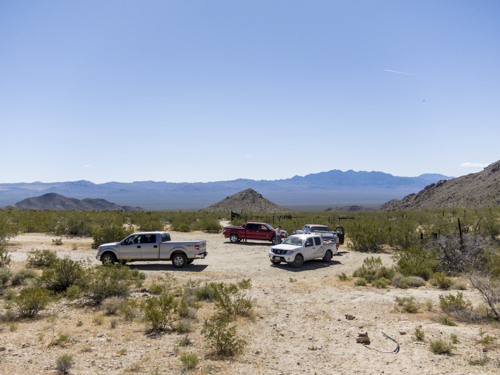
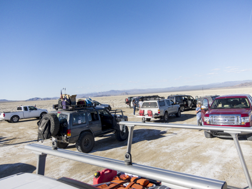
This was hands down the most vehicles we had seen during a expedition down the Mojave Trail.
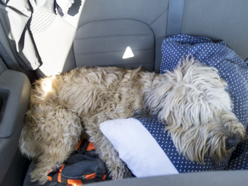
She looks comfortable, it's best not to disturb.
Last night of camping along the Mojave Trail. We found a great spot just around the corner from Razor Road and backs up to a large hill with scattered volcanic rocks. GPS Coordinates: 35.09494 -116.13889 @980ft
A rig per day keeps the office desk away.
That's a view.
Surrounding night three camp site was this epic hill side with scattered volcanic rock.
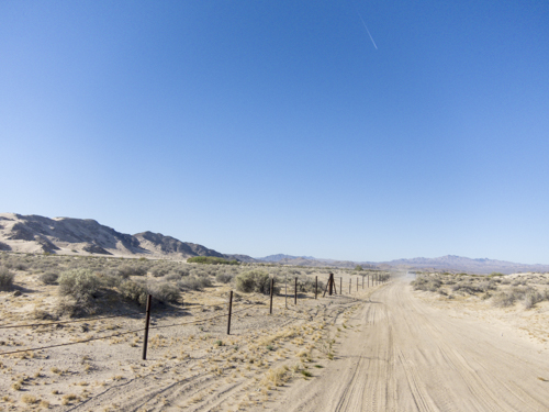
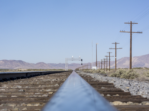
Day four on the Mojave Trail and we're making our way down to Kelso Train Station. To our left is the National Parks Service boundary line... Don't cross that line.
The goal here was heading over to Kelso Station, an old rail road town in the middle of the desert. This would have been accomplished if there was a proper railing crossing ramp, which the map said it was there. You guessed it, there was no crossing. GPS Coordinates: 35.04669 -116.16513 @988ft
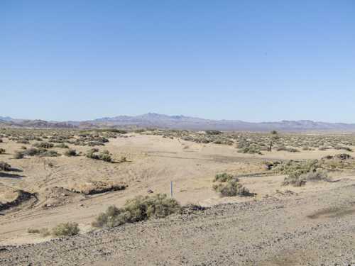
Driving along the train tracks and looking for a crossing. We ventured about one mile up the train tracks but could not find a crossing. Time to move on and explore more.
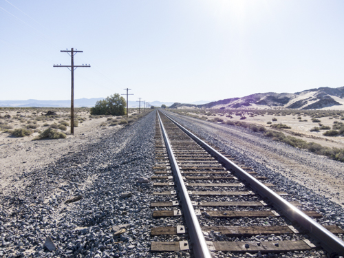
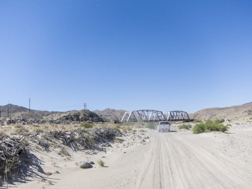
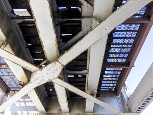
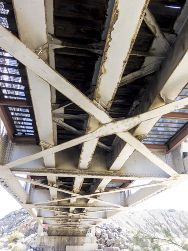
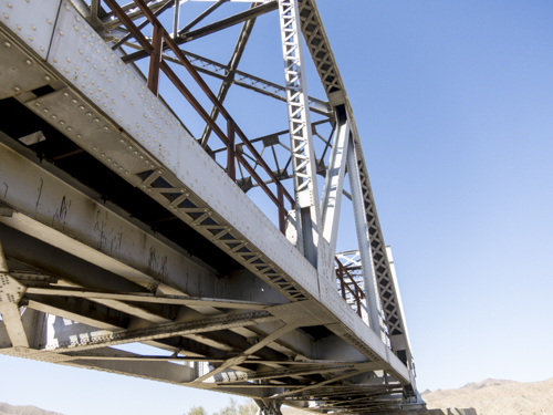
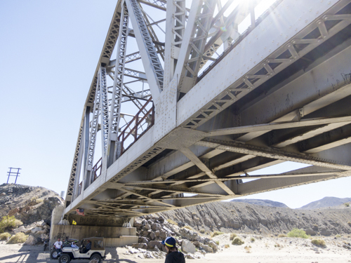
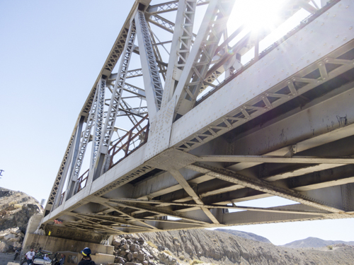
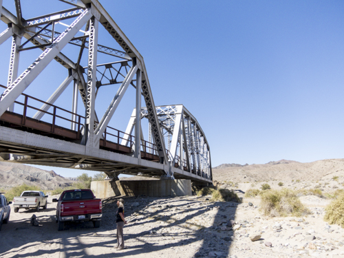
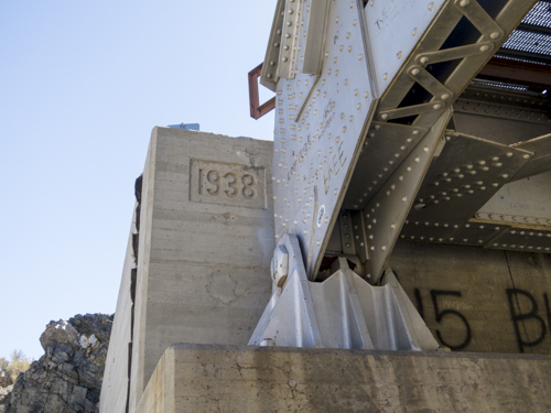
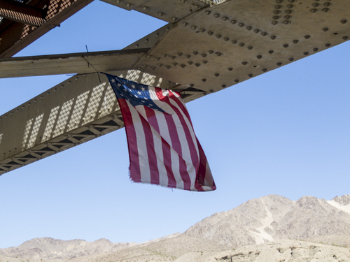
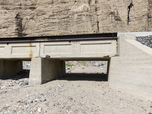
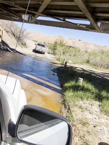
Coming up to the Mojave Trail Train Bridge and nearing the completion of our East to West trek through the Mojave Trail.
78 years later the bridge is still standing.
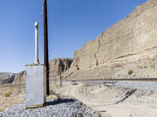
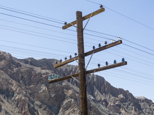
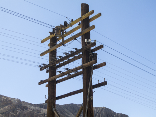
You don't see power and communication lines like this all that often these days.
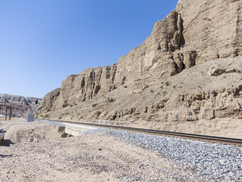
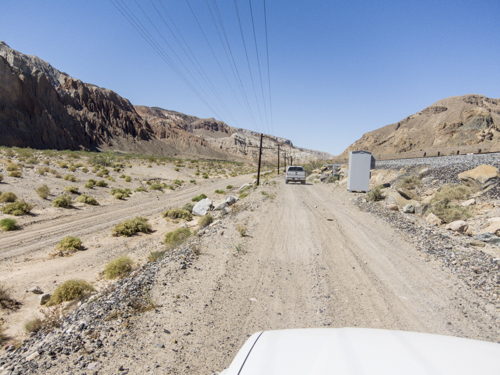
The Mojave Trail running parallel to the train lines.
First water crossing of the trip. GPS Coordinates: 35.02403, -116.35798 @1295ft