Posted: 3/29/17

AXIALFEST 2017 JULY 12-16
Event Theme: #ProspectFever
word/image prospector: Rodney Wills "provider of rabbit holes"
Every year we attempt to have a little theme for AXIALFEST. Last year's theme was bridges and #ChopStixBridge being my personal contribution along with quite a few others with the massive 65+ ft bridge from the Two Chainz Scalerz club!
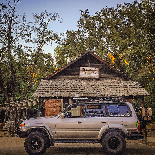
This year's theme #ProspectFever can be applied to a scale miner's cabin, shack or hut or some sort of structure for your campsite. You can accessorize your adventure rig and even prospect-theme your race livery of your competition rig! The following images are for inspiration aided with some backstory-history of prospecting and its relation to the area in and around Cisco Grove, home of AXIALFEST!
WHY DID WE CHOOSE PROSPECT FEVER?
This could be the year of a heavy prospector revival sparking PROSPECT FEVER!
How? With the heavy snowpack this past winter in the High Sierra’s, comes heavy run-off as the snow melts! This mass amount of snow-melt can cause excessive erosion, releasing concentrations of gold from newly exposed bench deposits and lode gold that may have never been mined before. Huge overland flows of rainfall can push this gold down into the rivers and creeks. The interesting thing about these high water events is how gold can sometimes be deposited in areas that you would not expect.
Source: https://www.goldrushnuggets.com/figoafst.html
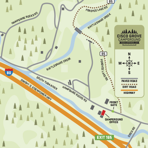
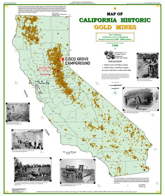
Cisco Grove Campground, home to AXIALFEST has one river
and one creek running through it.
Today you can pan for gold along the Yuba River in many different places, although much of the river is already claimed by other miners. Still, there are several locations where you can search for gold with a gold pan. One of the most important gold panning sites along the river is the South Yuba River State Park. Gold was first discovered at Rose’s bar on the south Yuba River in 1848 and still many gold panners have luck with their gold panning every day. Source: https://www.goldrushnuggets.com/yurigomiforg.html
CISCO GROVE IS RIGHT THERE!
The original James L. Gould sailed from Rockland, Maine when he was 18, arriving in San Francisco. He eventually bought land in the Sierra, including Cisco Grove. He was also involved in the Gold Run Ditch and Mining Co. His son Lewis Allen Gould inherited the land and his son James L. Gould, was responsible for building the Cisco Grove Resort area on Highway 40. After James L. Gould passed away, two of his grandchildren, Jim and Michelle, were instrumental in coordinating details for transferring the property to Placer Legacy. Thus, you see the Cisco Grove Gould Park.
Source: https://www.sierranevadageotourism.org/content/gould-park-at-cisco-grove/sief56a75e9e92939831
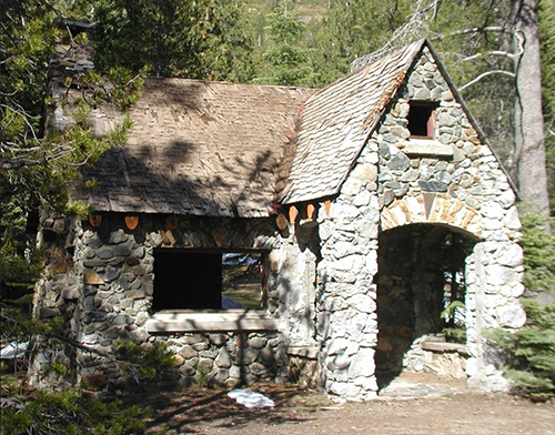
Cisco Grove is named after the Gould family who owned the property for several generations. In the 1860s, the property was purchased by pioneer James Gould from the “Big Four” of Old California: Leland Stanford, Charles Crocker, Mark Hopkins and Collis Huntington. James Gould named the settlement of Cisco Grove after a large grove of cottonwood trees on the Gould property. In the 1930s, Auburn builder Les Hammond was commissioned to build several structures on the site for the Goulds. Two stone cabins are all that remain, and these cabins will also be protected as part of the Cisco Grove Gould Park. Source: https://www.placerlandtrust.org/project/cisco-grove-gould-park/
Cisco Grove has two water flows through the campground of which AXIAL
calls home for AXIALFEST! Rattlesnake Creek and South Yuba River.
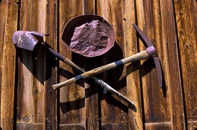
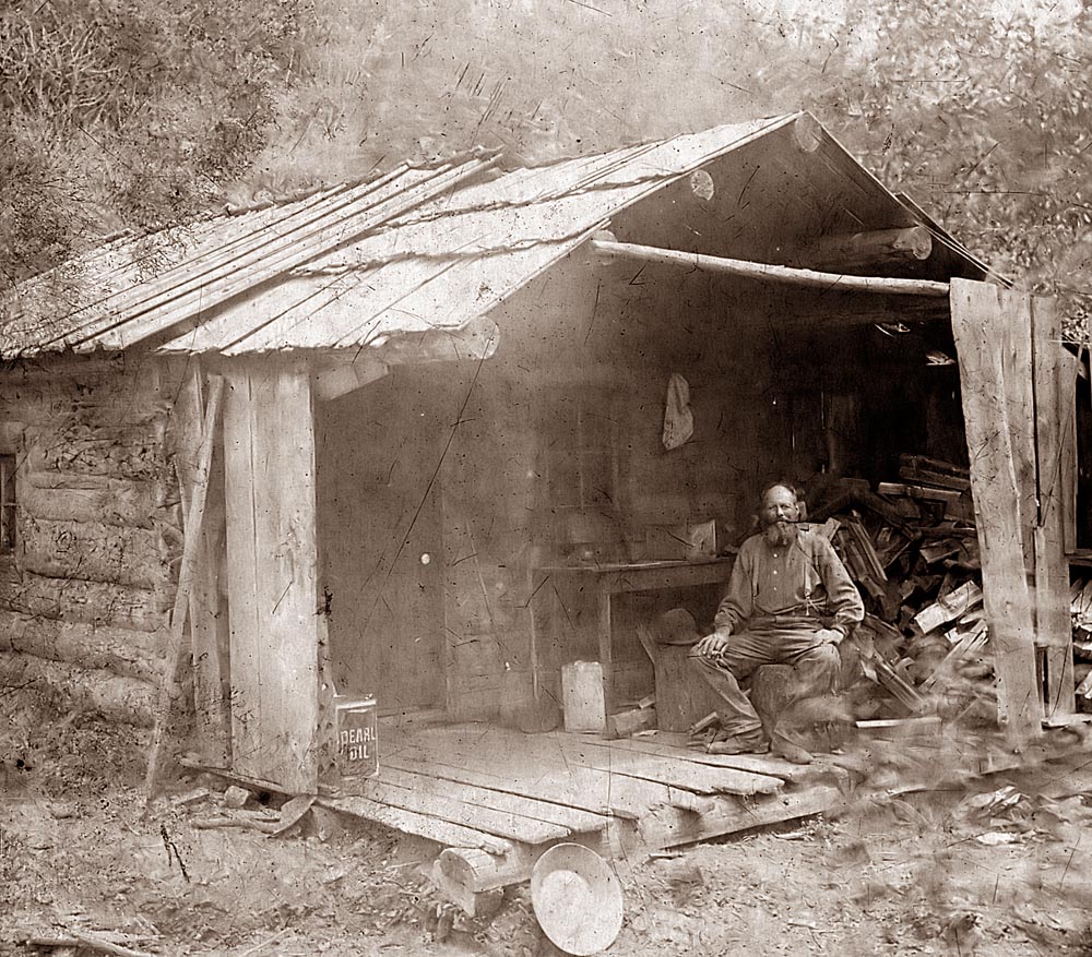
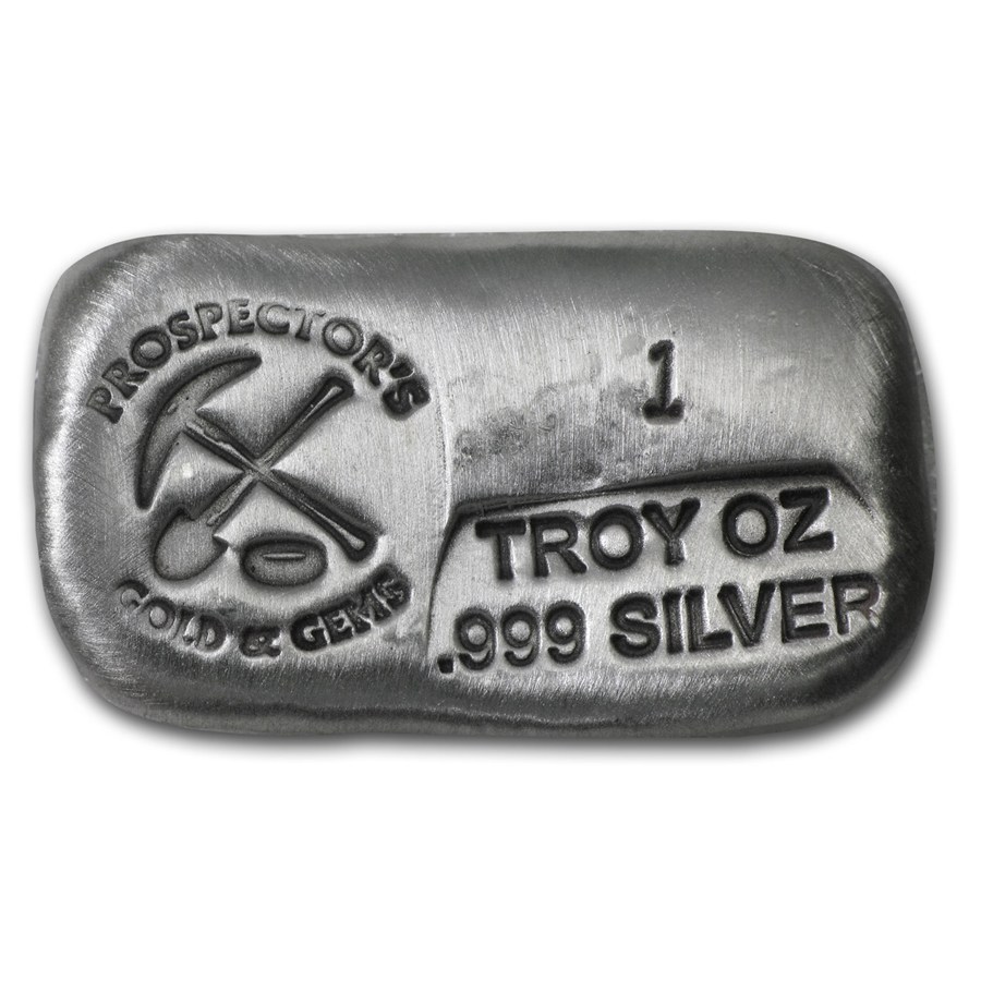
THE PROSPECTOR
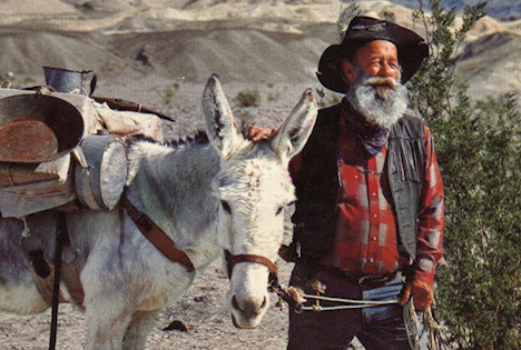
A person who explores or prospects an area in search of mineral deposits, such as gold.
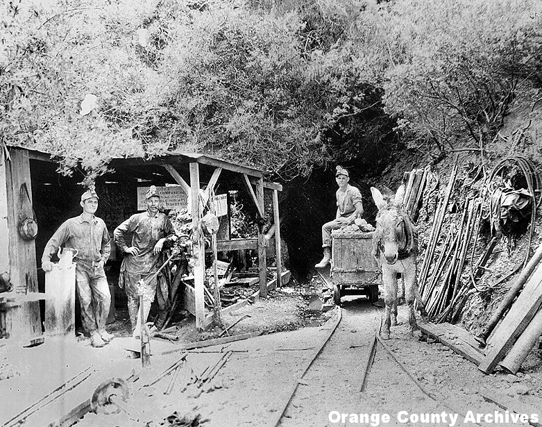
These original gold rush prospectors, of whom the “California forty-niners” were the most famous, often didn’t have anything more than rudimentary panning and prospecting equipment. They set out in small teams in the wilderness with only a donkey or mule, a pick, a shovel, a gold pan and perhaps some sluicing equipment. They were real pioneers, and very few of them ever ended up finding the fortune in gold nuggets and flakes that they had dreamed of.
source: https://www.findgoldprospecting.com/gold-rush-prospector-old-pictures-miner-49er-panning-photos/
Throughout 1849, people around the United States (mostly men) borrowed money, mortgaged their property or spent their life savings to make the arduous journey to California. In pursuit of the kind of wealth they had never dreamed of, they left their families and hometowns; in turn, women left behind took on new responsibilities such as running farms or businesses and caring for their children alone. Thousands of would-be gold miners, known as ’49ers, traveled overland across the mountains or by sea, sailing to Panama or even around Cape Horn, the southernmost point of South America.
source: https://www.history.com/topics/gold-rush-of-1849
How The California Gold Rush Started
You might be surprised to hear that the California Gold Rush all started as the result of a single man who found a few small gold flakes. As the story goes, on January 24, 1848 a foreman by the name of James Marshall was working on a mill for his boss James Sutter when he discovered some shiny flakes on the banks of the nearby American River. Marshall instinctively knew he was onto something and took his new finds to Sutter where the duo tested it to find out that it was in fact gold. Originally, Sutter didn't want news of the discovery to get out, as he believed it was spurr a rush of hopeful prospectors that would destroy his land in search of gold. Of course rumors soon began to spread around the nearby town of Columa where it leaked to other parts of California, and before long people everywhere were rushing to the lands around the now-famous "Sutter's Mill" with their pickaxes and pans.
Source: https://www.luckypanner.com/history-of-california-gold-rush-and-the-forty-niners/
Sutter's Mill "Gold Discovery Site" Coloma, California
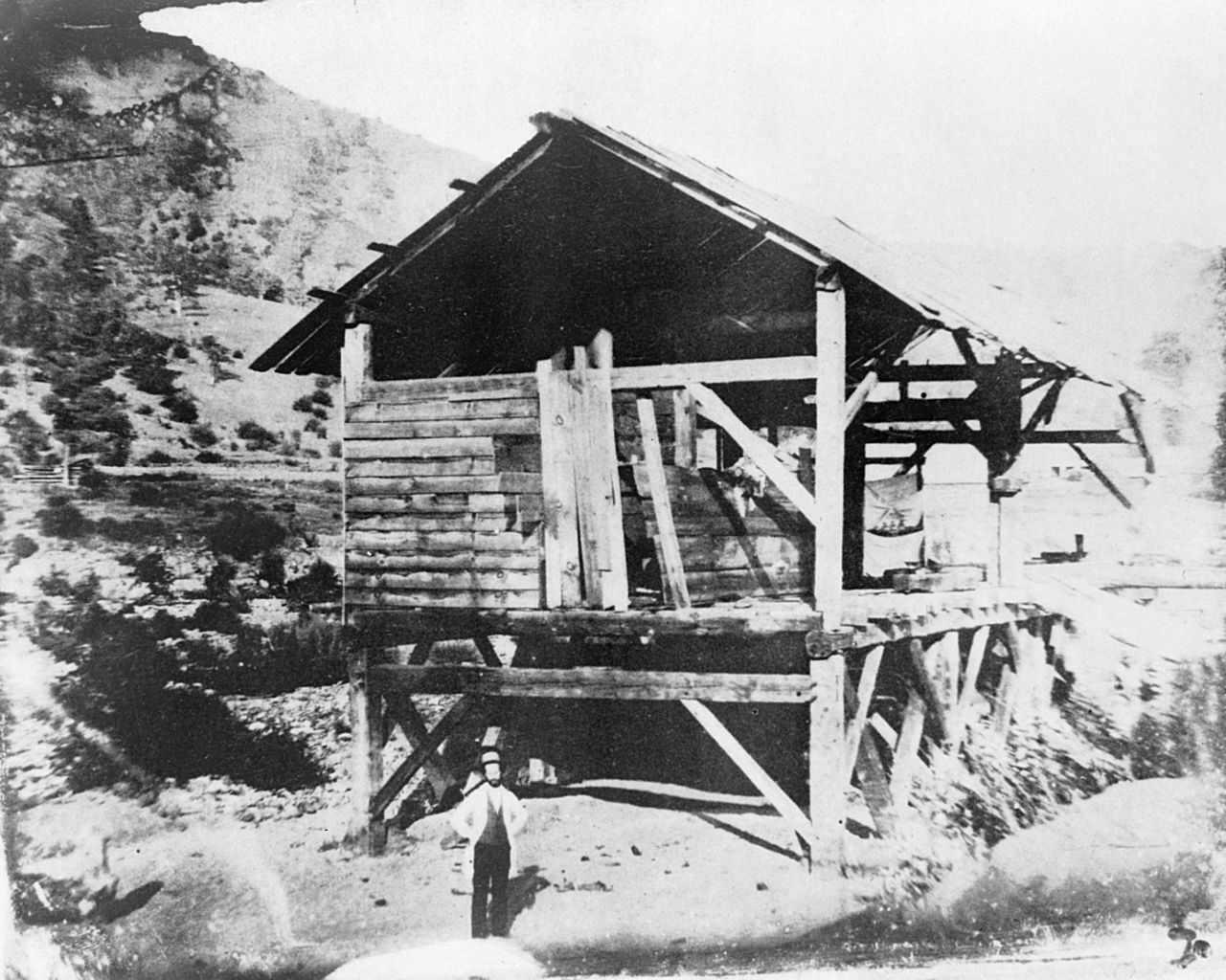
Sutter's Mill was a sawmill, owned by 19th-century pioneer John Sutter, where gold was found, setting off the California Gold Rush. It was located on the bank of the South Fork American River in Coloma, California.
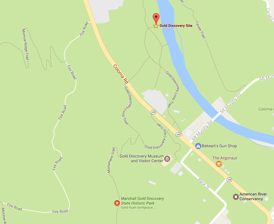 You could drive through here and visit the GOLD DISCOVERY SITE on your way to AXIALFEST 2017! Or on your way home! Mark the spot on your Google Maps with a GOLD STAR because you never know if and when you may find yourself in the vicinity!
https://goo.gl/maps/fBgpd8uwiLQ2
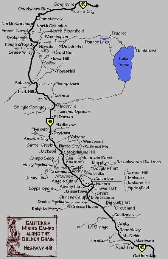
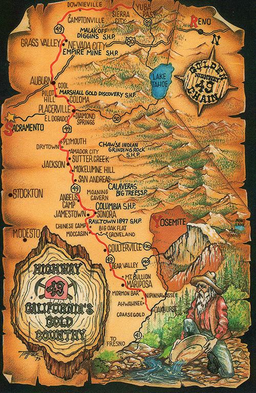
State Route 49 (SR 49) is a north–south state highway in the U.S. state of California that passes through many historic mining communities of the 1849 California gold rush. Highway 49 is numbered after the "49ers", the waves of immigrants who swept into the area looking for gold, and a portion of it is known as the Gold Country Highway. This roadway begins at Oakhurst, Madera County, in the Sierra Nevada, where it diverges from State Route 41. It continues in a generally northwest direction, weaving through the communities of Goldside and Ahwahnee, before crossing into Mariposa County. State Route 49 then continues northward through the counties of Tuolumne, Calaveras, Amador, El Dorado, Placer, Nevada, Yuba, Sierra, and Plumas, where it reaches its northern terminus at State Route 70, in Vinton.
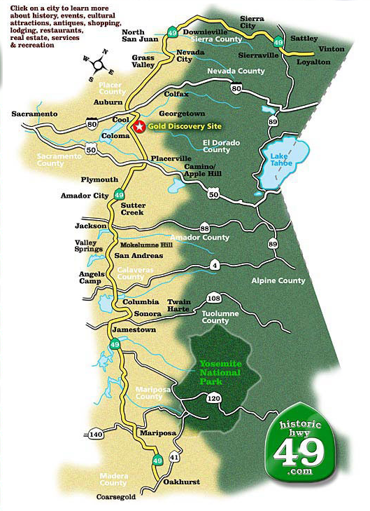 This map has some cool interactive information on their page:
https://www.historichwy49.com/mainmap.html
FOR THE SCALE BUILDERS!
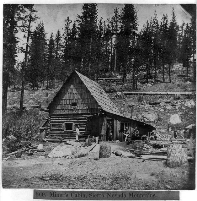
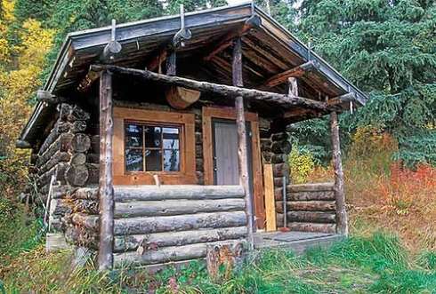
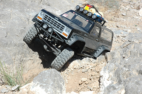
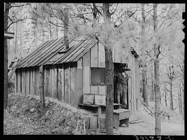
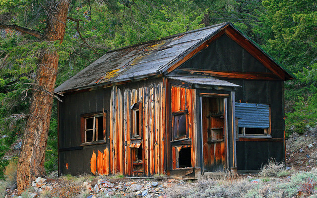
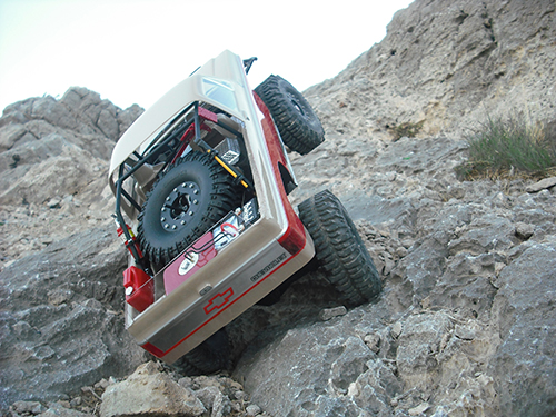
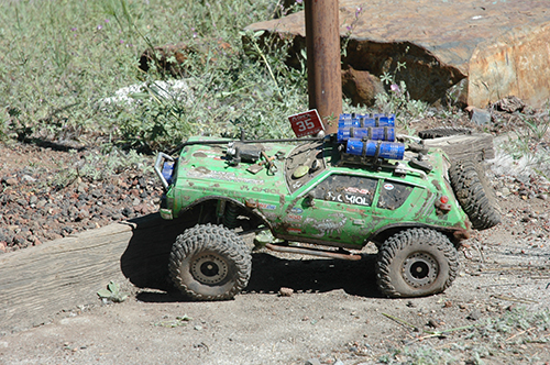
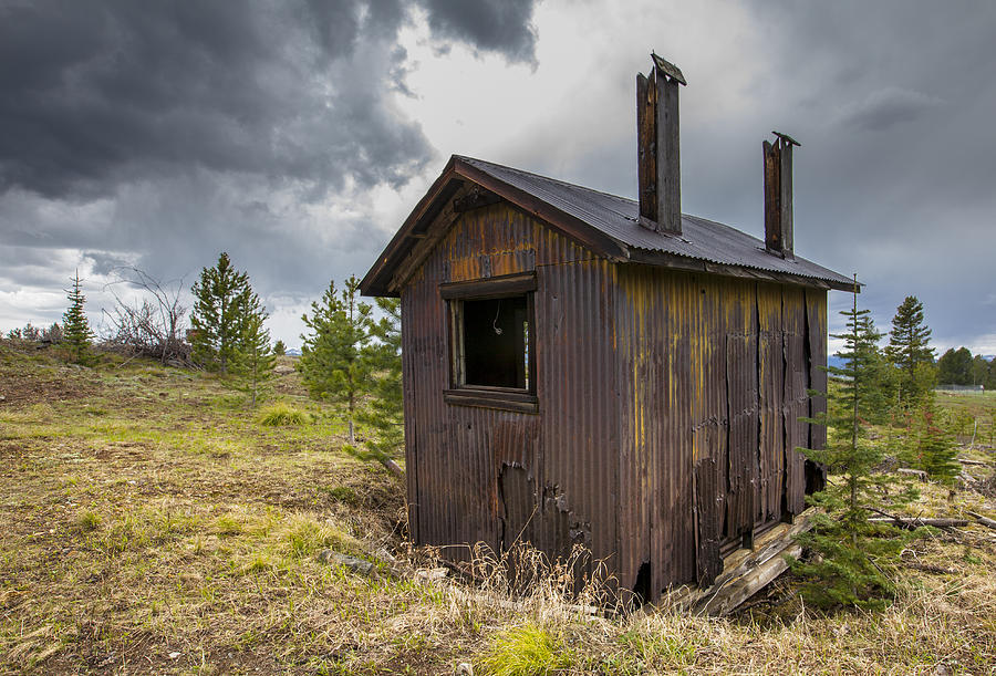
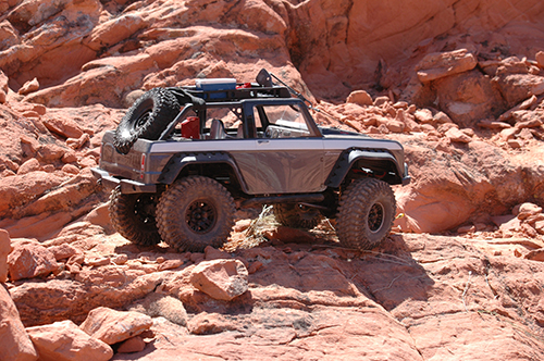
Prospectors dwelling, hut, shack, camp cabin? For AXIALFEST 2017 it just seems fitting to include something of this nature for your campsite, other than just your rig. Maybe you don't want to over-do your rig, but you like to build. Prospectors made makeshift Shacks, huts, and camps to dwell in while seeking their fortunes. You are invited to participate in a Prospector's Claim build. You hold the deed, in the form of your campsite. Build a cabin, hut, shack or simple camp to display at your campsite, AxialFest drivers can drive by and take a pic in front of your structure.This can be as simple as a basic shelter, or full on cabin, with signs or outside display. Remember that CLUB BANNER GUIDELINES blog post? Use that as your diorama backdrop! GET CREATIVE! Don't have a club? Make up a club, use the family name, just claim it and frame it!
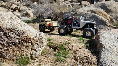
ADVENTURE RIGS

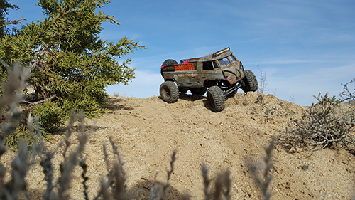
Equip your rig for the full back-country PROSPECTOR mission! Use any and all scale items that you may use for prospecting such as; mining equipment, shovels, maps, pans, portable sluice boxes, camping equipment, flashlights, furs etc. BUT, don't make it too heavy! If you make your rig too heavy, it’s going to be more work getting through the obstacles on the trail and will be harder on the vehicle components. Light and nimble will get you into the most remote prospecting locations!
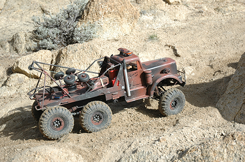
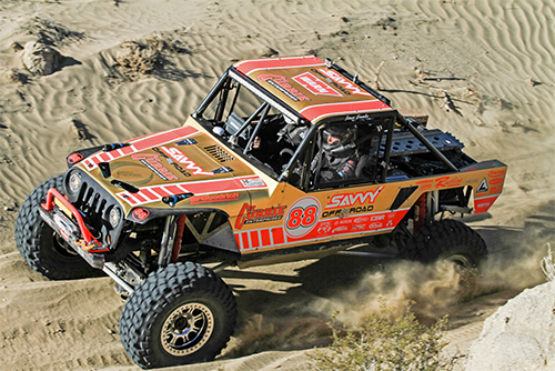
COMPETITION RIGS
![untitled-4946[1]](https://www.axialadventure.com/on/demandware.static/-/Sites-axial-us-Library/default/dw0ab91262/Blog/Archive/uploads/2017/03/untitled-49461.jpg)
Lets just say you have an uncle who works for a gold mining operation and they would like to sponsor your competition vehicle! Do you sponsors proud in a gold prospectors livery!
GET CREATIVE!!!
While we are on the subject of sponsors... what if!?
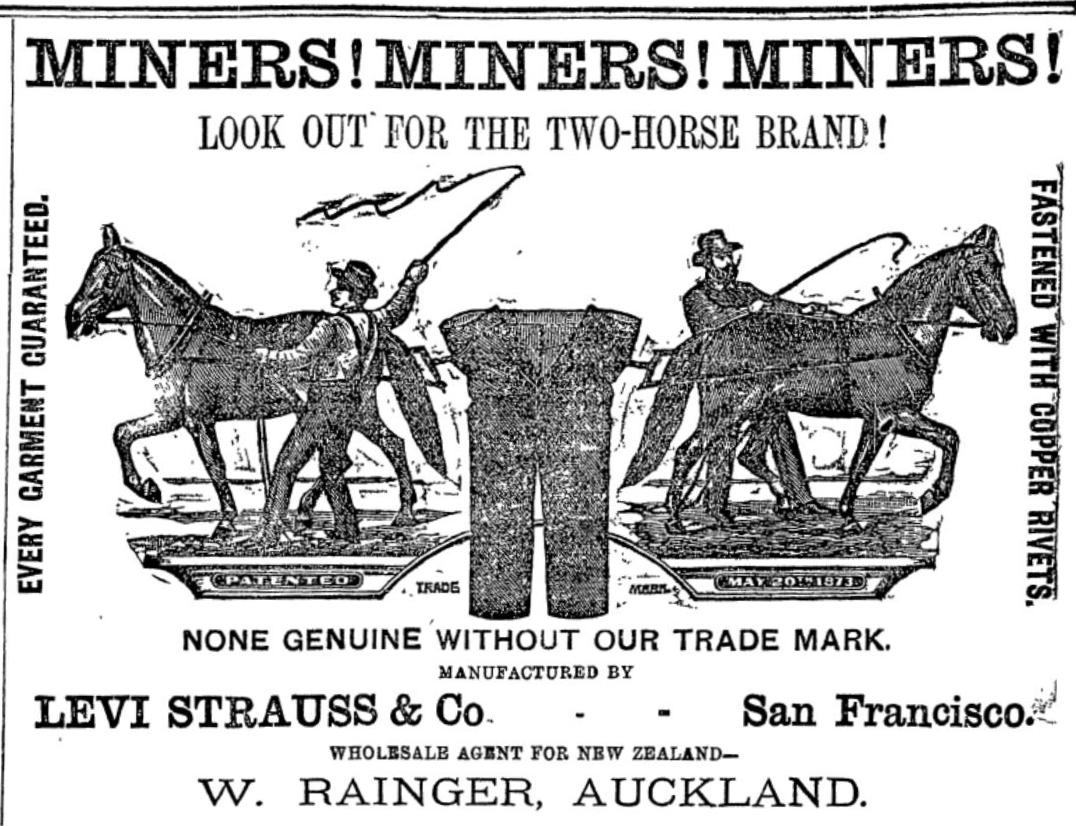
Tracey Panek has pinned a series of heritage stories for Levi's: "I waded through the 16-to-1 Gold Mine in Allegheny, California, near Lake Tahoe. The mine still operates and occasionally opens for tours. I smiled when I noticed that one of the miners helping with the tour wore Levi’s® 501® jeans and bore a striking resemblance to two 1882 miners pictured next to a payload car in an LS&Co. Archives photo (above). His modern 501® jeans weren’t much different from the 1879 XX pair in the Archives (a blow-up of which I toted with me to the 16-to-1 mine)." Source: https://www.levistrauss.com/unzipped-blog/2014/06/throwback-thursday-mining-for-stories-four-weeks-one-amazing-tale-later/
In Axial's own backyard!
Right here in the backyard of Axial, we have our own little prospecting history with the Blue Light Mine! In Chris Jepen's blog Tale of a Grizzled Prospector, he state's "One such boom occurred when silver was discovered in Orange County, California's Cañon de la Madera in 1877. Santa Ana residents Hank Smith and William Curry stumbled across ore while hunting, and within a week of them staking a claim hundreds of prospectors were pouring into what eventually became known as Silverado Canyon."
Source: https://ochistorical.blogspot.com/2013/01/tale-of-grizzled-prospector.html
MORE THEME IDEAS:


More AXIALFEST 2017 Prospector Theme Ideas:
https://www.pinterest.com/gcrad1/prospector/
Can you handle some more?
20 MILE MUSEUM - From Donner Lake to Cisco Grove
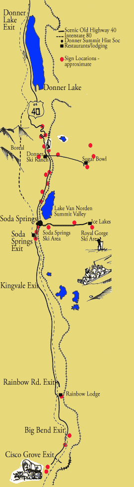
The 20 mile museum will initially consist of twenty-eight interpretive signs placed on private commercial property and along Old Highway 40 from the Eagle Lakes exit to over the Summit and below Rainbow Bridge. Each sign highlights the history of the location, displays historical photographs and quotes, tells a good story, and lists activities for that location. Source: https://www.donnersummithistoricalsociety.org/pages/20milemuseum.html